Data
The NES-LTER produces observational data, derived data products, and model data. Observational data are obtained in real-time from moored underwater instruments, underway and from sampling on research cruises, and post-cruise with laboratory analyses. These data and data products are categorized in support of the 5 core research themes. Our physical samples include water samples, filters, plankton net samples, and fish specimens.
What are we measuring right now?
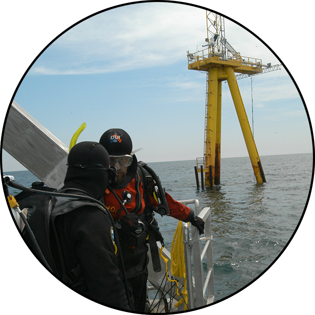
Martha’s Vineyard Coastal Observatory (MVCO)
Environmental parameters are measured in real-time from South Beach, Martha’s Vineyard, MA, and/or one mile offshore.
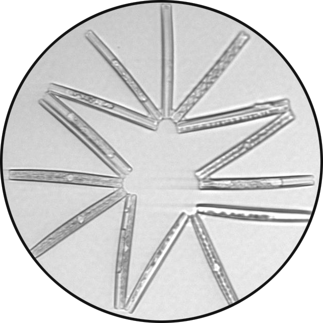
Imaging FlowCytobot (IFCB)
Images of phytoplankton are provided every ~20 minutes from the underwater microscope at MVCO.
Northeast Coastal Ocean Forecast System (NECOFS)
An interactive map that displays present physical oceanographic conditions and the forecast for the next 3 days.
What have we measured?
What we have measured recently
- We provide a web-based REST API for a subset of data from our Transect cruises, including underway and CTD data, nutrients, and chlorophyll.
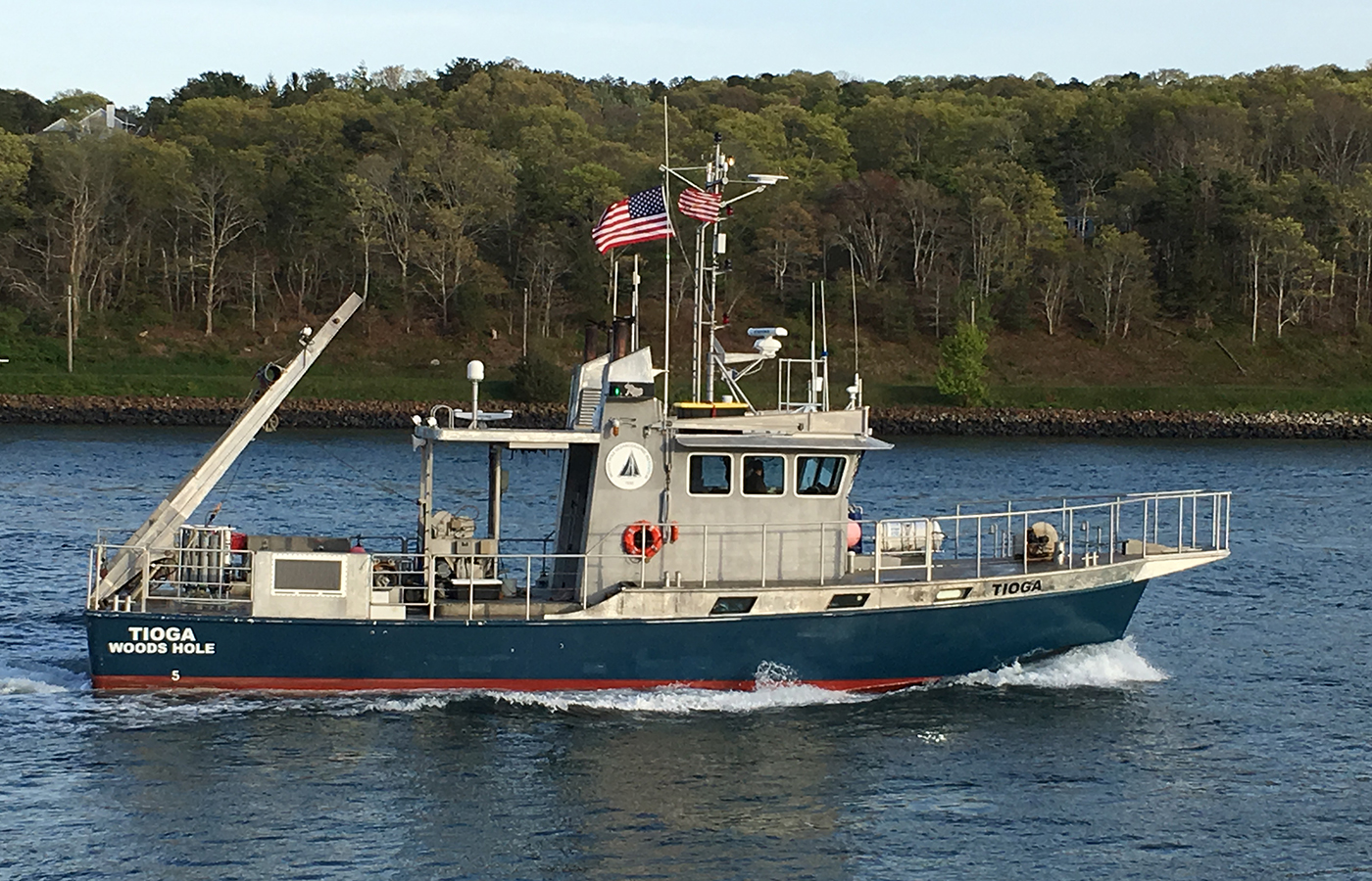
- Underway and CTD data from our day cruises to MVCO with WHOI’s R/V Tioga, as well as ship-provided data from our Transect cruises on R/V Armstrong, are available online at WHOI’s Data Library.
- Link to our protocols
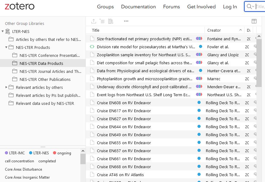
Curated data products
Link HERE to our Data Products catalog on Zotero
The NES-LTER provides data through several community repositories, including DataONE member nodes:
- Environmental Data Initiative (EDI) repository for our curated data products
- Rolling Deck to Repository (R2R) ship-provided data from University-National Oceanographic Laboratory System (UNOLS) cruises
- Biological and Chemical Oceanography Data Management Office (BCO-DMO) links to our curated data products and products from collaborating projects
We also provide data through NASA's SeaWiFS Bio-optical Archive and Storage System (SeaBASS).
We provide access to genetic sequencing data through the National Center for Biotechnology Information (NCBI).
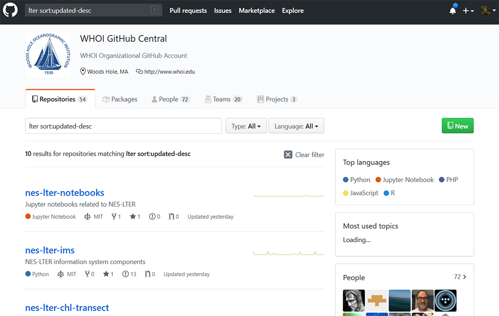
Code repositories available in GitHub
Our software repositories are publicly available on GitHub. Presently we distinguish our nes-lter-ims Python library from notebooks (Jupyter, R) and examples to access and perform analysis of cleaned data.
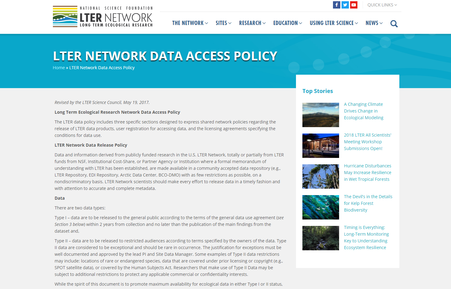
Data policy
Use of NES-LTER data in publications or theses should acknowledge the NES-LTER project. If you publish an article that uses NES-LTER data, please send the citation to lter-nes-info@whoi.edu.
Other data relevant to the NES-LTER
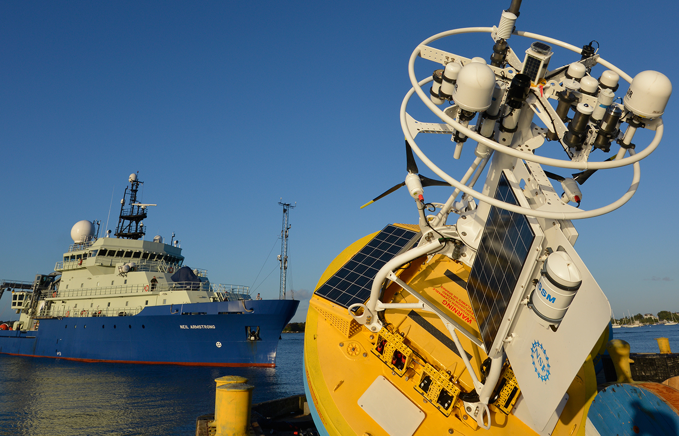
Our affiliated programs, each of which has data available online:
- Martha’s Vineyard Coastal Observatory (MVCO)
- Ocean Observatories Initiative (OOI)
- NOAA’s Northeast Fisheries Science Center (NEFSC) Ecosystem Monitoring (EcoMon) program
- CTD Rosette Bottle data on NCEI Ocean Carbon and Acidification Data Portal
- NOAA's National Marine Ecosystem Status for the Northeast Region
The Northeastern Regional Association of Coastal Ocean Observing Systems (NERACOOS) aggregates data from many providers in the region.
The Northeast Ocean Data portal offers maps and data for ocean planning.
Link HERE to our Zotero collection for other relevant data used by NES-LTER


